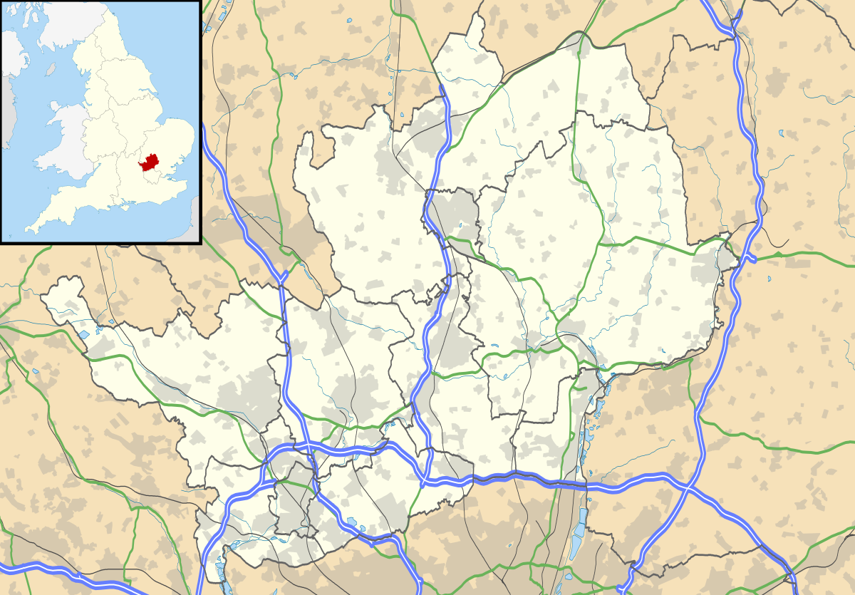
Bestand:Hertfordshire UK location map.svg
Uiterlijk

Afmetingen van deze voorvertoning van het type PNG van dit SVG-bestand: 800 × 557 pixels Andere resoluties: 320 × 223 pixels | 640 × 446 pixels | 1.024 × 713 pixels | 1.280 × 891 pixels | 2.560 × 1.782 pixels | 1.425 × 992 pixels.
Oorspronkelijk bestand (SVG-bestand, nominaal 1.425 × 992 pixels, bestandsgrootte: 1,84 MB)
Bestandsgeschiedenis
Klik op een datum/tijd om het bestand te zien zoals het destijds was.
| Datum/tijd | Miniatuur | Afmetingen | Gebruiker | Opmerking | |
|---|---|---|---|---|---|
| huidige versie | 26 sep 2010 19:56 | 1.425 × 992 (1,84 MB) | Nilfanion | {{Information |Description=Map of Hertfordshire, UK with the following information shown: *Administrative borders *Coastline, lakes and rivers *Roads and railways *Urban areas Equirectangular map projection on WGS 84 datum, with N/S s |
Bestandsgebruik
Meer dan 100 pagina's gebruiken dit bestand. De volgende lijst geeft alleen de eerste 100 pagina's weer die dit bestand gebruiken. Er is ook een volledige lijst beschikbaar.
- Abbots Langley
- Albury (Hertfordshire)
- Aldbury
- Aldenham
- Apsley
- Ashwell (Hertfordshire)
- Aspenden
- Ayot St Lawrence
- Ayot St Peter
- Baldock
- Barkway
- Barley
- Bengeo
- Benington (Hertfordshire)
- Berkhamsted
- Bishop's Stortford
- Borehamwood
- Bovingdon
- Bramfield (Hertfordshire)
- Brent Pelham
- Bricket Wood
- Broxbourne (plaats)
- Buntingford
- Caldecote (Hertfordshire)
- Cheshunt
- Chipperfield
- Chorleywood
- Colney Heath
- Cottered
- Croxley Green
- Cuffley
- Eastwick (Hertfordshire)
- Elstree
- Essendon
- Flamstead
- Flaunden
- Furneux Pelham
- Gilston
- Great Munden
- Harpenden
- Hatfield (Hertfordshire)
- Hemel Hempstead
- Hertford (Engeland)
- Hexton
- High Wych
- Hinxworth
- Hitchin
- Hoddesdon
- Ickleford
- Kings Langley
- Kings Walden
- Knebworth
- Langley (Hertfordshire)
- Letchworth
- Lilley
- Little Berkhamsted
- Little Munden
- London Colney
- Meesden
- Much Hadham
- Nettleden with Potten End
- Nuthampstead
- Offley
- Radlett
- Radwell
- Redbourn
- Reed (Engeland)
- Rickmansworth
- Royston (Hertfordshire)
- Rushden (Hertfordshire)
- Sacombe
- Sandon (Hertfordshire)
- Sandridge
- Sarratt
- Sawbridgeworth
- Shenley
- South Mimms
- St Albans (plaats)
- St Ippolyts
- Standon (Hertfordshire)
- Stanstead Abbots
- Stanstead St Margarets
- Stapleford (Hertfordshire)
- Stocking Pelham
- Therfield
- Tring
- Walkern
- Waltham Cross
- Ware (Engeland)
- Wareside
- Watton-at-Stone
- Welwyn
- Welwyn Garden City
- Westmill
- Weston (Hertfordshire)
- Wheathampstead
- Widford (Hertfordshire)
- Wigginton (Hertfordshire)
- Wood End
- Woolmer Green
Meer koppelingen naar dit bestand bekijken.
Globaal bestandsgebruik
De volgende andere wiki's gebruiken dit bestand:
- Gebruikt op ar.wikipedia.org
- Gebruikt op bg.wikipedia.org
- Gebruikt op ceb.wikipedia.org
- Gebruikt op en.wikipedia.org
- Hatfield, Hertfordshire
- Hertfordshire
- St Albans
- Verulamium
- St Albans Cathedral
- Hatfield House
- Berkhamsted
- Bricket Wood
- Hemel Hempstead
- Hoddesdon
- Royston, Hertfordshire
- Hitchin
- Preston, Hertfordshire
- Apsley, Hertfordshire
- Welwyn Garden City
- Borehamwood
- Welwyn
- Watford tube station
- Harpenden
- Hertford
- Potters Bar
- Bishop's Stortford
- Tring
- Frithsden
- Rickmansworth
- Watford Junction railway station
- Nettleden
- Ringshall, Berkhamsted
- Much Hadham
- Kings Langley
- Mill Green Museum
- Baldock
- Buntingford
- Cheshunt
- Aldbury
- Ashridge
- Sawbridgeworth
- Ware, Hertfordshire
- Bovingdon
- London Colney
- Elstree Studios
- Bushey
- Redbourn
- Redbournbury Mill
- Elstree
- Warner Bros. Studios Leavesden
- Willian, Hertfordshire
Globaal gebruik van dit bestand bekijken.