Mount Aizu-Komagatake
Appearance
This article needs additional citations for verification. (May 2023) |
| Mount Aizu-Komagatake | |
|---|---|
| 会津駒ヶ岳 | |
 | |
| Highest point | |
| Elevation | 2,133 m (6,998 ft)[1] |
| Listing | 100 Famous Japanese Mountains |
| Coordinates | 37°02′51.4″N 139°21′13.6″E / 37.047611°N 139.353778°E |
| Geography | |
| Country | Japan |
| Prefecture | Fukushima |
| Protected area | Oze National Park |
| Village | Hinoemata |
| Parent range | Echigo Mountains |
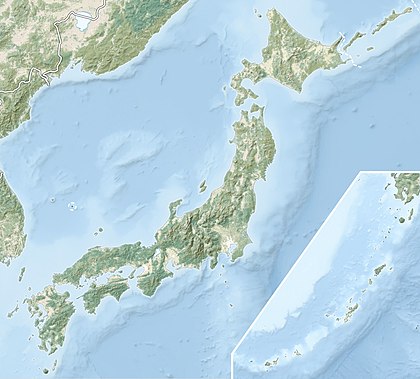
Mount Aizu-Komagatake (会津駒ヶ岳, Aizu-Komagatake) is a mountain located in Hinoemata, Fukushima Prefecture, Japan, in the Oze National Park. It is one of the 100 Famous Japanese Mountains.
See also
[edit] Media related to Mount Aizukoma at Wikimedia Commons
References
[edit]- ^ "Topographic map of Mount Aizu-Komagatake". opentopomap.org. Retrieved 2023-05-24.

