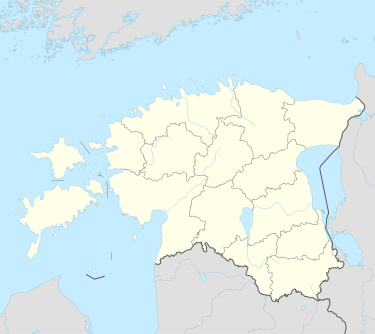
Lao, Estonia
Appearance
Lao | |
|---|---|
 Munalaiu harbour in winter. | |
| Coordinates: 58°14′55″N 24°06′17″E / 58.24861°N 24.10472°E | |
| Country | Estonia |
| County | Pärnu County |
| Municipality | Pärnu urban municipality |
| Population (01.01.2011[1]) | |
• Total | 31 |
Lao is a village in Pärnu urban municipality, Pärnu County, in southwestern Estonia. It is located on the top of the Tõstamaa peninsula, on the coast of the Gulf of Riga. Lao has a population of 31 as of 1 January 2011.[1]
Munalaiu harbour, which connects the islands Kihnu and Manilaid with the mainland, is located in Lao.
References
[edit]- ^ a b "Külad" (in Estonian). Tõstamaa vald. Archived from the original on 20 September 2011. Retrieved 23 May 2011.

