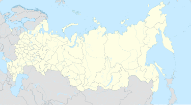
Rubas
Appearance
Rubas
Рубас | |
|---|---|
| Coordinates: 41°53′N 48°19′E / 41.883°N 48.317°E[1] | |
| Country | Russia |
| Region | Republic of Dagestan |
| District | Derbentsky District |
| Time zone | UTC+3:00 |
Rubas (Russian: Рубас) is a rural locality (a selo) and the administrative centre of Rubassky Selsoviet, Derbentsky District, Republic of Dagestan, Russia. The population was 3,099 as of 2010.[2] There are 44 streets.[3]
Geography
[edit]Rubas is located 19 km south of Derbent (the district's administrative centre) by road. Aglobi and Kommuna are the nearest rural localities.[4]
History
[edit]Former Mountain Jewish village.[5] At the beginning of the 20th century, it was inhabited by settlers from the Poltava province.[6]
In 1966, after an earthquake, residents of the village of Chulak, Khivsky region, were resettled to the village of Rubas. In 1972, the village of Khoshmenzil was included in the village.[7]
Nationalities
[edit]Tabasarans, Azerbaijanis, Lezgins and Aghuls live there.
References
[edit]- ^ Село Рубас на карте
- ^ Всероссийская перепись населения 2010 года. Таблица № 11. Численность населения городских округов, муниципальных районов, городских и сельских поселений, городских и сельских населённых пунктов Республики Дагестан
- ^ Село Рубас на карте
- ^ Расстояние от Дербента до Рубаса 19 км
- ^ History, historiography of Mountain Jews.
- ^ Applications to the history of Protichka.
- ^ Fund No. 154. Rubas rural Council of People's Deputies and its executive committee, village of Rubas, Derbent district of the DASSR.

