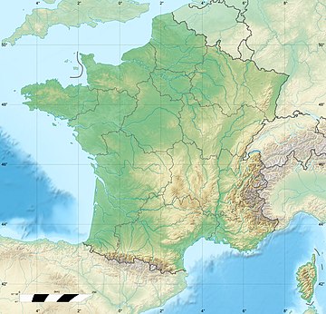
Selves (river)
Appearance
| Selves | |
|---|---|
 | |
| Location | |
| Country | France |
| Physical characteristics | |
| Mouth | Truyère |
• coordinates | 44°40′28″N 2°34′30″E / 44.6744°N 2.5749°E |
| Length | 44.5 km (27.7 mi) |
| Basin features | |
| Progression | Truyère→ Lot→ Garonne→ Gironde estuary→ Atlantic Ocean |
The Selves is a river in the Aveyron department, France.[1][2][3] It is a left tributary of the Truyère, into which it flows near Campouriez. It is approximately 44.5 km long.[1]
References
[edit]- ^ a b Sandre. "Fiche cours d'eau - La Selves (O7780500)".
- ^ "Le Selves à Campouriez [Louradiol]". Banque HYDRO. Retrieved 9 November 2021.
- ^ "La Selves". Pecheviadene.weebly.com.

