Meshik River
Appearance
| Meshik River | |
|---|---|
| Location | |
| Country | United States |
| State | Alaska |
| Borough | Lake and Peninsula |
| Physical characteristics | |
| Source | Meshik Lake, Aleutian Range, Alaska Peninsula |
| • location | Aniakchak National Monument and Preserve |
| • coordinates | 56°51′59″N 158°03′22″W / 56.86639°N 158.05611°W[1] |
| • elevation | 1,766 ft (538 m)[2] |
| Mouth | Bristol Bay |
• location | Port Heiden |
• coordinates | 56°48′32″N 158°39′46″W / 56.80889°N 158.66278°W[1] |
• elevation | 0 ft (0 m)[1] |
| Length | 31 mi (50 km)[1] |
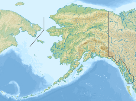
The Meshik River is a stream, 31 miles (50 km) long, on the Alaska Peninsula in the U.S. state of Alaska.[1] Beginning on the flanks of Mount Aniakchak in Aniakchak National Monument and Preserve, it flows generally west into Bristol Bay near the city of Port Heiden.[3]
The Meshik is one of several peninsula rivers with many game fish but little fishing pressure because of their remote location, severe weather, and other factors. The main species on the main stem and its tributaries are Chinook, Coho, and sockeye salmon, as well as char. Access is possible by boat or floatplane.[4]
See also
[edit]References
[edit]- ^ a b c d e "Meshik River". Geographic Names Information System. United States Geological Survey. March 31, 1981. Retrieved December 2, 2013.
- ^ Derived by entering source coordinates in Google Earth.
- ^ Alaska Atlas & Gazetteer (7th ed.). Yarmouth, Maine: DeLorme. 2010. p. 139. ISBN 978-0-89933-289-5.
- ^ Limeres, Rene; Pedersen, Gunnar; et al. (2005). Alaska Fishing: The Ultimate Angler's Guide (3rd ed.). Roseville, California: Publishers Design Group. pp. 244–45. ISBN 1-929170-11-4.
