Hohgrat
Appearance
| Hohgrat | |
|---|---|
 On the summit | |
| Highest point | |
| Elevation | 996 m (3,268 ft) |
| Prominence | 106 m (348 ft)[1] |
| Parent peak | Hörnli |
| Listing | Canton high point |
| Coordinates | 47°23′07.5″N 08°57′58″E / 47.385417°N 8.96611°E |
| Geography | |
| Location | Thurgau/St. Gallen, Switzerland |
| Parent range | Appenzell Alps |
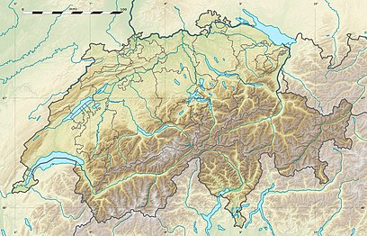
The Hohgrat (also known as Groot) is a mountain located on the border between the Swiss cantons of Thurgau and St. Gallen. Reaching a height of 996 metres above sea level, it is the highest point of the canton of Thurgau.
The mountain is densely forested, except the eastern (St. Gallen) side, which includes some limestone cliffs.
References
[edit]- Canton Thurgau - Geographic Location thurgau-turismus.ch
External links
[edit]
