Kranzberg (mountain)
Appearance
| Kranzberg | |
|---|---|
 The Kranzberg (left peak) seen from the Aletsch Glacier | |
| Highest point | |
| Elevation | 3,741 m (12,274 ft) |
| Prominence | 83 m (272 ft)[1] |
| Parent peak | Jungfrau |
| Coordinates | 46°31′19.5″N 7°58′52″E / 46.522083°N 7.98111°E |
| Geography | |
| Location | Valais, Switzerland |
| Parent range | Bernese Alps |
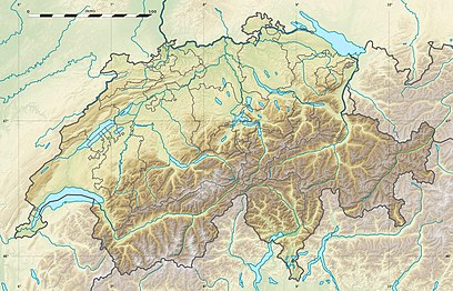
The Kranzberg North-Top (3,741 m) is a mountain of the Bernese Alps, overlooking the Aletsch Glacier in the Swiss canton of Valais, close to the border with the canton of Bern. Its massif separates two glaciers: the Grosser Aletschfirn and the Jungfraufirn, both part of the Aletsch Glacier.
The Kranzberg South-Top (3,666 m) is located south-east of the Kranzberg North-Top.
Debris accumulating on both sides of the mountain forms one of the two important supraglacial moraines of the Aletsch Glacier (see picture on the top right of the article).
References
[edit]External links
[edit]
