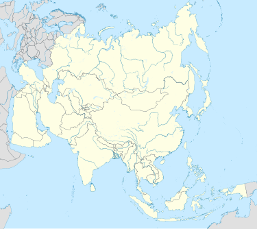
Dewair
Appearance
Dewair | |
|---|---|
Village | |
| Coordinates: 25°24′59″N 73°48′15″E / 25.416357°N 73.804119°E | |
| Country | |
| State | Rajasthan |
| District | Rajsamand district |
| Languages | |
| • Official | Hindi |
| Time zone | UTC+5:30 (IST) |
Dewair or Dawer is a village in Rajsamand district, Rajasthan, India.[1] It has a population of 4480.[2] It is located on National Highway 48 (India) (earlier designated National Highway 8), 40 km from Kumbhalgarh and 22 km from Deogarh.[3]
This is the site of the Battle of Dewair (1606) in which Amar Singh I fought Mughal forces of Jahangir.[4]
On 10 January 2012, a victory memorial commemorating the victory of Maharana Pratap at Dewair[5] was inaugurated by the President of India, Smt. Pratibha Patil.[6]
-
Victory memorial in Dewair
References
[edit]- ^ India. Office of the Registrar General. (1953). "Census Reports – 1951". JSTOR saoa.crl.25804813. Archived from the original on 4 September 2021. Retrieved 4 September 2021.
- ^ "Rural Development Department" (PDF). Archived (PDF) from the original on 20 September 2018. Retrieved 17 August 2021.
- ^ Rajasthan [district Gazetteers].: Rajsamand. Government Central Press. 2001. p. 296.
- ^ Saraswat, Akshay (9 May 2020). "Maharana Pratap – The Rajput Warrior who single-handedly fought Akbar's might". www.ibtimes.co.in. Archived from the original on 2 August 2021. Retrieved 17 August 2021.
- ^ "Battle of Diwer: Another prominence of Dussehra from the history of Mewar". udaipurtimes.com. 17 October 2012. Archived from the original on 11 August 2021. Retrieved 17 August 2021.
- ^ "जिला पोर्टल, राजस्थान सरकार।". Rajsamand.rajasthan.gov.in. Archived from the original on 27 June 2020. Retrieved 26 February 2022.


