Gonzen
Appearance
| Gonzen | |
|---|---|
 The south face seen from Sargans | |
| Highest point | |
| Elevation | 1,830 m (6,000 ft) |
| Prominence | 162 m (531 ft)[1] |
| Parent peak | Gamsberg |
| Coordinates | 47°4′3″N 9°26′2″E / 47.06750°N 9.43389°E |
| Geography | |
| Location | St. Gallen, Switzerland |
| Parent range | Appenzell Alps |
| Climbing | |
| Easiest route | Trail |
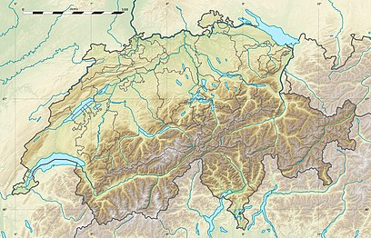
The Gonzen (1,830 m) is a mountain of the Appenzell Alps, overlooking the Rhine Valley at Sargans, in the canton of St. Gallen. It lies at the southeastern end of the Alvier group.
The summit of the Gonzen can be reached via a trail on the northern side.
References
[edit]External links
[edit]Media related to Gonzen at Wikimedia Commons
- Gonzen on Hikr
