Campanario Formation
Appearance
| Campanario Formation | |
|---|---|
| Stratigraphic range: Late Miocene–Early Pliocene | |
| Type | Geological formation |
| Lithology | |
| Primary | Tuff, breccia, welded tuff, andesite lava, dacite lava |
| Location | |
| Coordinates | 36°00′S 71°36′W / 36.0°S 71.6°W |
| Region | Maule & Bío Bío Regions Neuquén Province |
| Country | Chile, Argentina |
| Type section | |
| Named by | Robert E. Drake |
| Year defined | 1974 |
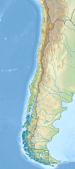
Campanario Formation (Spanish: Formación Campanario) is a Miocene geological formation in the high Andes of Central Chile and northern Neuquén Province in Argentina. The formation crops out around the upper parts of the basins of Maule and Ñuble rivers.[1][2][3]
