Dunaybah
Tools
Actions
General
Print/export
In other projects
Appearance
From Wikipedia, the free encyclopedia
This is the current revision of this page, as edited by Monkbot (talk | contribs) at 01:28, 22 October 2024 (Task 20: replace {lang-??} templates with {langx|??} ‹See Tfd› (Replaced 1);). The present address (URL) is a permanent link to this version.
(diff) ← Previous revision | Latest revision (diff) | Newer revision → (diff)
Village in Hama, Syria
Dunaybah
دنيبة Dneibeh, Danibah | |
|---|---|
Village | |
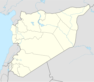
| Coordinates: 34°56′1″N 37°0′6″E / 34.93361°N 37.00167°E / 34.93361; 37.00167 | |
| Country | |
| Governorate | Hama |
| District | Salamiyah |
| Subdistrict | Salamiyah |
| Population (2004) | |
• Total | 2,208 |
| Time zone | UTC+2 (EET) |
| • Summer (DST) | UTC+3 (EEST) |
| City Qrya Pcode | C3218 |
Dunaybah (Arabic: دنيبة; also spelled Dneibeh or Danibah) is a Syrian village located in the Salamiyah Subdistrict of the Salamiyah District in Hama Governorate. According to the Syria Central Bureau of Statistics (CBS), Dunaybah had a population of 2,208 in the 2004 census.[1]
References
[edit]- ^ "General Census of Population 2004". Retrieved 2014-07-10.
This article about a location in Hama Governorate, Syria is a stub. You can help Wikipedia by expanding it. |
Retrieved from "https://en.wikipedia.org/w/index.php?title=Dunaybah&oldid=1252592180"


