[go: up one dir, main page]

Jump to content

Coldblow

Coordinates: 51°26′11″N 0°09′55″E / 51.436492°N 0.165305°E / 51.436492; 0.165305
From Wikipedia, the free encyclopedia

This is the current revision of this page, as edited by Pedroperezhumberto (talk | contribs) at 12:48, 14 April 2024 (#article-section-source-editor). The present address (URL) is a permanent link to this version.

(diff) ← Previous revision | Latest revision (diff) | Newer revision → (diff)

Coldblow
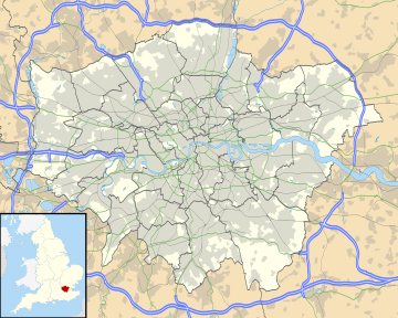
Coldblow is located in Greater London
Coldblow
Coldblow
Location within Greater London
London borough
Ceremonial countyGreater London
Region
CountryEngland
Sovereign stateUnited Kingdom
Post townBEXLEY
Postcode districtDA5
Dialling code020
PoliceMetropolitan
FireLondon
AmbulanceLondon
London Assembly
List of places
UK
England
London
51°26′11″N 0°09′55″E / 51.436492°N 0.165305°E / 51.436492; 0.165305

Coldblow is a village in South East London within the London Borough of Bexley. It is located south east of Bexleyheath and south west of Dartford, adjacent to the Greater London boundary with the county of Kent.

Transport

[edit]
The Grade II listed, 19th-century coal tax post and iron pollard along Tile Kiln Road in Coldblow

Buses

[edit]

Rail

[edit]

The nearest National Rail station to Coldblow is Bexley.