Oskarshamn Airport
Appearance
Oskarshamn Airport Oskarshamn flygplats | |||||||||||
|---|---|---|---|---|---|---|---|---|---|---|---|
 | |||||||||||
| Summary | |||||||||||
| Location | Oskarshamn | ||||||||||
| Elevation AMSL | 96 ft / 29 m | ||||||||||
| Coordinates | 57°21′1.96″N 16°29′47.16″E / 57.3505444°N 16.4964333°E | ||||||||||
| Map | |||||||||||
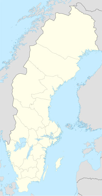
Location within Sweden | |||||||||||
 | |||||||||||
| Runways | |||||||||||
| |||||||||||
Oskarshamn Airport (Swedish: Oskarshamns flygplats) was an airport in Oskarshamn, Sweden (IATA: OSK, ICAO: ESMO). It was built in 1970 and closed in 2014.
The connection with Stockholm-Arlanda was closed down on 17 April 2014. In May 2014 there was a decision by the municipality to close down the airport totally. The nearest other airport is Kalmar Airport, 75 kilometres (47 mi) from Oskarshamn. The airport is still used for some general aviation.
Statistics
[edit]Graphs are unavailable due to technical issues. There is more info on Phabricator and on MediaWiki.org. |
Annual passenger traffic at OSK airport.
See Wikidata query.
Accidents
[edit]- In 1989, a domestic scheduled passenger flight crashed on landing. It was a Beechcraft 99 operated by Holmström Flyg, scheduled from Stockholm Arlanda to Oskarshamn. All 16 on board died.[1]
