Adam Airport
Appearance
Adam Airport مطار آدم | |||||||||||
|---|---|---|---|---|---|---|---|---|---|---|---|
| Summary | |||||||||||
| Operator | Oman Airports Management Company S.A.O.C. | ||||||||||
| Location | Adam, Ad Dakhiliyah Region, Oman | ||||||||||
| Elevation AMSL | 1,077 ft / 328 m | ||||||||||
| Coordinates | 22°29′35″N 57°22′55″E / 22.49306°N 57.38194°E | ||||||||||
| Website | http://www.omanairports.com/ | ||||||||||
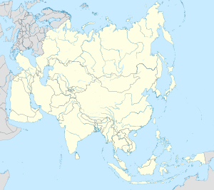
| Map | |||||||||||
 | |||||||||||
| Runways | |||||||||||
| |||||||||||
Adam Airport (IATA: AOM, ICAO: OOAD) is an air base and proposed domestic airport[4] situated in the Adam wilayah of the Ad Dakhiliyah Region of Oman. The air base is 18 kilometres (11 mi) northwest of the town of Adam.
Runway length does not include 360 metres (1,180 ft) displaced thresholds on each end. The Izki VOR-DME (Ident: IZK) is located 31.7 nautical miles (59 km) northeast of the airport.[5] A VOR-DME is located on the field.[6]
See also
[edit]References
[edit]- ^ Airport information for Adam Airport at Great Circle Mapper.
- ^ "Adam Airport". Google Maps. Google. Retrieved 5 February 2019.
- ^ "Adam Airport". SkyVector. Retrieved 5 February 2019.
- ^ "Oman future airport facilities" (PDF). ICAO.int. ICAO. Retrieved 5 February 2019.
- ^ "Izki VOR". Our Airports. Retrieved 5 February 2019.
- ^ "Adam VOR". Acukwik. Aviation Week. Retrieved 5 February 2019.
External links
[edit]


