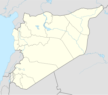
Khareb
Appearance
Khareb
الخرائب | |
|---|---|
Village | |
| Coordinates: 35°13′46″N 36°18′32″E / 35.229329°N 36.308795°E | |
| Country | |
| Governorate | Hama |
| District | Al-Suqaylabiyah District |
| Subdistrict | Tell Salhab |
| Population (2004) | |
• Total | 241 |
| Time zone | UTC+2 (EET) |
| • Summer (DST) | UTC+3 (EEST) |
| City Qrya Pcode | C3147 |
Khareb (Arabic: الخرائب; also spelled Kharayeb) is a Syrian village located in Tell Salhab Subdistrict in Al-Suqaylabiyah District, Hama. According to the Syria Central Bureau of Statistics (CBS), Khareb had a population of 241 in the 2004 census.[1]
In 2018, archaeologists revealed a Byzantine mosaic painting of a church dates back to the fifth century AD. The painting, which was decorated with geometric shapes and inscriptions in Latin, was unearthed,[2][3]
References
- ^ "General Census of Population 2004". Retrieved 2014-07-10.
- ^ admin (2018-10-31). "Mosaic painting dating back to fifth century AD discovered in Hama countryside". Syrian Arab News Agency. Retrieved 2021-01-16.
- ^ "Early Byzantine mosaic floor discovered in Syria's Hama". The Archaeology News Network. Retrieved 2021-01-16.


