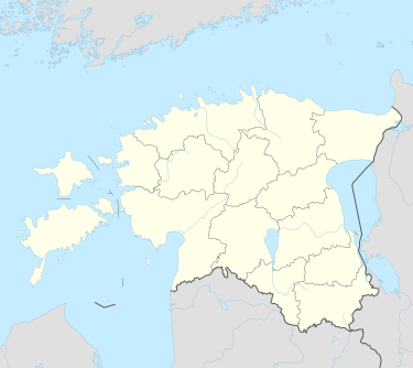
Emmaste
Appearance
You can help expand this article with text translated from the corresponding article in Czech. (August 2010) Click [show] for important translation instructions.
|
Emmaste | |
|---|---|
Village | |
 The church in Emmaste. | |
| Coordinates: 58°42′N 22°37′E / 58.700°N 22.617°E | |
| Country | |
| County | Hiiu County |
| Parish | Hiiumaa Parish |
| Time zone | UTC+2 (EET) |
| • Summer (DST) | UTC+3 (EEST) |
Emmaste (German: Emmast) is a village in Hiiumaa Parish, Hiiu County in northwestern Estonia.[1]
Emmaste got its village status in 1977. Before it was an Emmaste settlement (Estonian: asundus), which was formed in the 1920s on the basis of Emmaste Manor (German: Emmast). The eastern part of the village was known as Nõmme. In the 1920s and 1930s, the Nõmme was a standalone village. In 1977, the nearby village Viiterna was merged with Emmaste village.[2]
References
[edit]- ^ "X-GIS(4) Portal". xgis.maaamet.ee. Retrieved 25 July 2021.
- ^ "[KNR] Dictionary of Estonian Place names". www.eki.ee. Retrieved 14 April 2022.

