Anger (river)
Appearance
| Anger | |
|---|---|
| Location | |
| Country | France |
| Physical characteristics | |
| Source | |
| • location | near Dombrot-le-Sec, Vosges |
| Mouth | |
• location | Mouzon in Circourt-sur-Mouzon |
• coordinates | 48°16′57″N 5°41′59″E / 48.2825°N 5.6997°E |
| Length | 27.9 km (17.3 mi) |
| Basin size | 233 km2 (90 sq mi) |
| Basin features | |
| Progression | Mouzon→ Meuse→ North Sea |
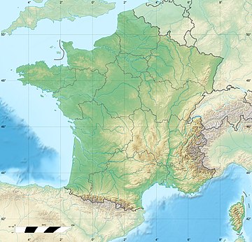
The Anger is a 27.9 km long river in northeastern France which traverses Vosges in Grand Est.[1] It rises in Dombrot-le-Sec and flows generally northwest to join the Mouzon at Circourt-sur-Mouzon.
References
- ^ Sandre. "Fiche cours d'eau - L'Anger (B10-0210)". (in French)

