Nathorst Land
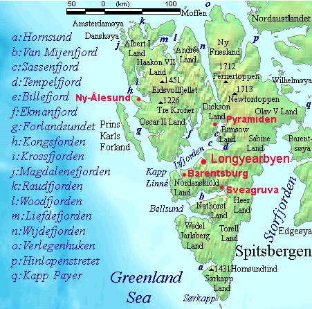
Nathorst Land is the land area between Van Keulenfjorden and Van Mijenfjorden on Spitsbergen, Svalbard.[1]
The area is named after Alfred Gabriel Nathorst.[2]
The Aspelintoppen mountain is the highest peak in Nathorst Land.[3]
References
- ^ Kjærnet, Torfinn. "Nathorst Land". In Henriksen, Petter (ed.). Store norske leksikon (in Norwegian). Oslo: Kunnskapsforlaget. Retrieved 15 November 2011.
- ^ "Nathorst Land (Svalbard)". Norwegian Polar Institute. Retrieved 27 November 2015.
- ^ Lauritzen, Per Roger, ed. (2009). "Nathorst Land". Norsk Fjelleksikon (in Norwegian). Arendal: Friluftsforlaget. ISBN 978-82-91-49547-7.
77°38′00″N 16°12′15″E / 77.63333°N 16.20417°E
This Spitsbergen location article is a stub. You can help Wikipedia by expanding it. |