Mnichov (Strakonice District)
Mnichov | |
|---|---|
 World War I memorial in the centre of Mnichov | |
 Flag  Coat of arms | |
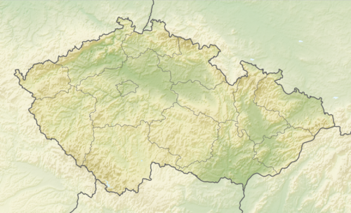 Mnichov Location in the Czech Republic | |
| Coordinates: 49°18′8″N 13°49′48″E / 49.30222°N 13.83000°E | |
| Country | |
| Region | South Bohemian |
| District | Strakonice |
| First mentioned | 1243 |
| Area | |
| • Total | 8.31 km2 (3.21 sq mi) |
| Elevation | 454 m (1,490 ft) |
| Population (2024-01-01)[1] | |
| • Total | 251 |
| • Density | 30/km2 (78/sq mi) |
| Time zone | UTC+1 (CET) |
| • Summer (DST) | UTC+2 (CEST) |
| Postal code | 386 01 |
| Website | www |
Mnichov is a municipality and village in Strakonice District in the South Bohemian Region of the Czech Republic. It has about 300 inhabitants.
Mnichov lies approximately 8 kilometres (5 mi) north-west of Strakonice, 61 km (38 mi) north-west of České Budějovice, and 97 km (60 mi) south-west of Prague.
Demographics
| Year | Pop. | ±% |
|---|---|---|
| 1869 | 626 | — |
| 1880 | 633 | +1.1% |
| 1890 | 592 | −6.5% |
| 1900 | 541 | −8.6% |
| 1910 | 560 | +3.5% |
| 1921 | 589 | +5.2% |
| 1930 | 577 | −2.0% |
| 1950 | 446 | −22.7% |
| 1961 | 441 | −1.1% |
| 1970 | 363 | −17.7% |
| 1980 | 304 | −16.3% |
| 1991 | 234 | −23.0% |
| 2001 | 219 | −6.4% |
| 2011 | 246 | +12.3% |
| 2021 | 247 | +0.4% |
| Source: Censuses[2][3] | ||
References
- ^ "Population of Municipalities – 1 January 2024". Czech Statistical Office. 2024-05-17.
- ^ "Historický lexikon obcí České republiky 1869–2011" (in Czech). Czech Statistical Office. 2015-12-21.
- ^ "Population Census 2021: Population by sex". Public Database. Czech Statistical Office. 2021-03-27.
External links
Wikimedia Commons has media related to Mnichov (Strakonice District).
| Authority control databases: National |
|---|
This South Bohemian Region location article is a stub. You can help Wikipedia by expanding it. |